The extent and rate of desertification is intensifying on the Tibetan plateau according to a major new scientific assessment report released by the Chinese Academy of Science (CAS) in November – turning large swathes of precious grasslands and wetlands into desert.
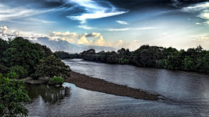
The Tibetan Plateau is known as the world’s “third pole” because it holds the largest store of fresh water outside the Antarctic and Arctic. It is also the source of Asia’s major rivers, which support about 1.4 billion people downstream. The loss of grasslands, alpine meadows, wetlands and permafrost will have serious implications for environmental security in China and South Asia.
More than 100 Chinese scientists from China’s top scientific institute participated in the three-year assessment, including the Intergovernmental Panel on Climate Change (IPCC) contributor Qin Dahe. The report claims to be “an independent assessment from the scientific community and not for profit or under [any] agency”.
Desert expansion
According to the report, the Tibetan plateau is already warming two times faster than the global average and CAS scientists predict that temperatures on the plateau will increase by up to 4.6 degrees Celsius by the end of the century. As a result the water cycle is intensifying, as indicated by shrinking glaciers, expanding lakes and increased river flows.
While more water is flowing, desertification is spreading across the plateau and will continue to expand in the future. Together with melting permafrost, worsening desertification is identified as the major driver of environmental degradation on the plateau.
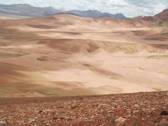
It’s difficult to find the up-to-date figures of how much land has turned into desert on the plateau, but a 2001 study published in the Journal of Desert Research said that 313,000 square kilometres of land was degraded in 1995 – that is 75 times the area of Qinghai Lake (Tso Ngönpo), the largest lake in China. The study identified an additional 30,000 square kilometres of potentially desertified land.
Desertification is spreading to every corner of the plateau, but the situation is especially acute in some areas. In Zoige Wetland, also known as the “kidney of the plateau”, located in the Sichuan province, desertification is reported to be increasing at a rate of 10% every year.
Asia’s Water Tower turns to dust
The plateau, also known as “Asia’s Water Tower”, is the source of 10 of Asia’s major rivers. However, the headwaters of these rivers are suffering the worst desertification and land degradation. For example the Three River Source region – a national protected area – has been badly affected and feeds 25% of the total water flow of Yangtze, 49% of Yellow River and 15% of the Lancang (Mekong) River.
The situation is the most serious at the headwaters of the Yarlung Zangbo (known as the Brahmaputra in India) and the Yangtze, where soil erosion and sand has spread along rivers and climbed up hillsides and mountains. The Yangtze flows east across China, powering the country’s largest economic zone. In its upper watershed, 33,200 square kilometres of land had turned into desert, the largest continuous expanse of desert among all the river sources on the plateau.
In the Qiangtang Plateau, which covers most of the Yangtze River headwaters, climate change is reshaping the landscape at an incredible speed – with glaciers and frozen soil shrinking and less rainfall in the southwest region. Meanwhile vegetation is degrading and grasslands are turning into desert.
![Desertification in the Yangtze River Headwaters (million square kilometres) [Source: Chinese Academy of Science, 2015]](/wp-content/uploads/2015/12/yangtze-desert.jpg)
Melting permafrost
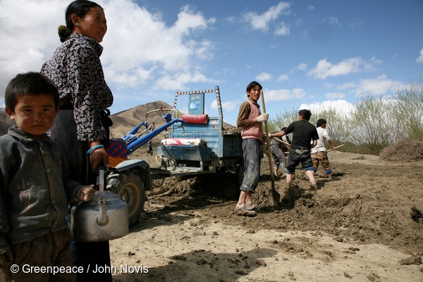
There are many drivers of desertification on the plateau – both natural physical processes and human mismangement. Geology, climate change, rodent damage as well as human activities all play a role in exacerbating desertification .
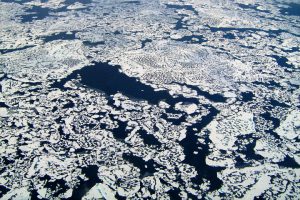
At the source of the Yangtze, the scientists concluded that loss of permafrost induced by climate change is a major threat. Permafrost is the perennially frozen layers of soil which underpin two thirds of the plateau and provide essential carbon and water storage. The assessment report states the “active layer” of frozen soil beneath the surface which thaws during summer is getting thicker and warmer every year. The active layer is thickening at a rate of 3.6-7.5mm per year, according to the report.
Permafrost areas will continue to shrink throughout the century, the report predicts. Wetlands rely on permafrost – summer melt supplies wetlands with water, while the year-round subsurface frozen layer prevents water from seeping deeper into the soil and so benefits surface ecologies. In some places on the Qinghai-Tibetan Plateau, receding permafrost has accelerated degradation of pasture and worsened desertification.
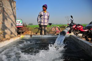
Studies on the Yellow River have identified overgrazing of yaks and sheep and cultivation without proper protection measurements as the main human activities causing desertification in the vulnerable region. Climate change, especially rising temperatures, has also accelerated the natural process.
Infrastructure and mining
Infrastructure construction also contributes to desertification. After reviewing the environmental impacts of the two major transport projects – the Qinghai-Tibet road and the Qinghai-Tibet railway – the CAS report concluded that, due to lacking knowledge of the ecosystem and permafrost conservation, the construction has resulted in “serious impacts on the eco-system” and threatened the stability of the construction. These impacts include further soil erosion and degradation.
Mining has also taken a heavy environmental toll over the past few decades. Tibet contains vast mineral resources and while exploration is still at an early stage, mines are located in inaccessible and remote areas, making it difficult to monitor and enforce regulations. Careless mining practices and dumping of waste has polluted water and led to other environment problems, further increasing the risk of soil erosion, landslides and other natural disasters.
Since 2010, authorities have tightened environmental regulations for the mining industry, the report states, with 40 companies who were unable to meet environmental standards being asked to cease operations.
Government conservation
Amid fears the plateau will become “one of the world’s major sources of sand in the future”, China’s central government has poured vast sums into conservation of the plateau. In 2009 and 2011, the State Council released a national plan and a comprehensive followed-up plan on ecosystem and environment conservation over the next two decades. By the end of 2014 up to 470 million yuan of central finance had been invested to manage desertification according to official data.
The government says that the money has been well spent. Statistics from Tibet’s forestry department suggest the “Grain for Green” project – a national ecological restoration project – has achieved great success against desertification in the river valleys of Yarlung Zangbo, Lasha and Nyang Qu River (the largest tributary of the midstream Yarlung Zangbo River). The project is said to have reduced up to 63.6% of moderately desertified land and 30% of heavily desertified land in the last decade.
But the latest scientific analysis from CAS shows a different story. In the same period of vast investment from the government, desertification has sped up in the upper Yangtze River watershed since 2000, after a relatively stable stage in the 1990s.
Adeline Choy also contributed to this article.