Around the world, differing financial capabilities and a lack of regional cooperation mean that the availability of biodiversity data varies wildly between countries. Many developing nations are unable to assess the state of biodiversity on their territory, or monitor changes and the impacts of destructive activity, which makes it hard to assess progress towards conservation and protection goals, or the funding required for such actions.
The United Nations’ recent COP16 summit in Colombia was the first biodiversity conference since new global targets on conservation were set in 2022, and one that saw discussions over deeper cooperation in this area between China and Brazil, two of the world’s mega-biodiverse countries.
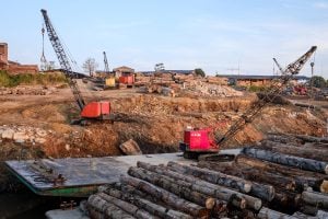
Brazil is said to be considering approaches similar to China’s “ecological redlines” for defining protected areas, as well as further cooperation on satellite monitoring to help protect the Amazon rainforest – an area in which the countries have a long-standing partnership, having launched six satellites since 1988, two of which are still in operation.
At a side event during COP16, Bráulio Dias, director of conservation and sustainable use of biodiversity at Brazil’s Ministry of Environment and Climate Change and former executive secretary to the UN Convention on Biological Diversity, said: “If we want to monitor recovery of the Amazon rainforest, we have to send people to measure every tree. We know China is researching a number of satellite imaging techniques that Brazil doesn’t have. This means cooperation on remote monitoring would be of huge significance.”
Since 2011, China has been developing its conservation system of ecological redlines – finalised in 2023 – and uses domestic high-resolution satellite imagery and drones to monitor biodiversity, protecting over 30% of its territory. Brazil and other countries are reportedly considering similar systems to these redlines, and its adoption could lead to more data and technology sharing.
Ecological conservation redlines demarcate areas that provide important ecological services with the aim of protecting them. These include shallow coastal waters, wetlands, glaciers and forests.
China began piloting the ecological conservation redlines policy in 2000 following catastrophic floods in the Yangtze River valley that were made worse by overdevelopment of grasslands and wetlands, which would otherwise have helped absorb the floodwater.
In the 2010s, over a quarter of the country was included in the redlines – meaning put under protection or sustainable management. In April 2023, China’s Ministry of Natural Resources announced that these redlines had been finalised, encompassing an area of at least 3.15 million square kilometres, including 3 million of land and 150,000 at sea. In some provinces, redlines cover more than 50% of the total area, while in others this reaches less than 10%.
Exchanges and cooperation are already underway. In 2023, Brazil and China signed a deal on joint development of the CBERS-6 earth observation satellite. Due to launch in 2028, it will carry a new radar camera to monitor deforestation and recovery.
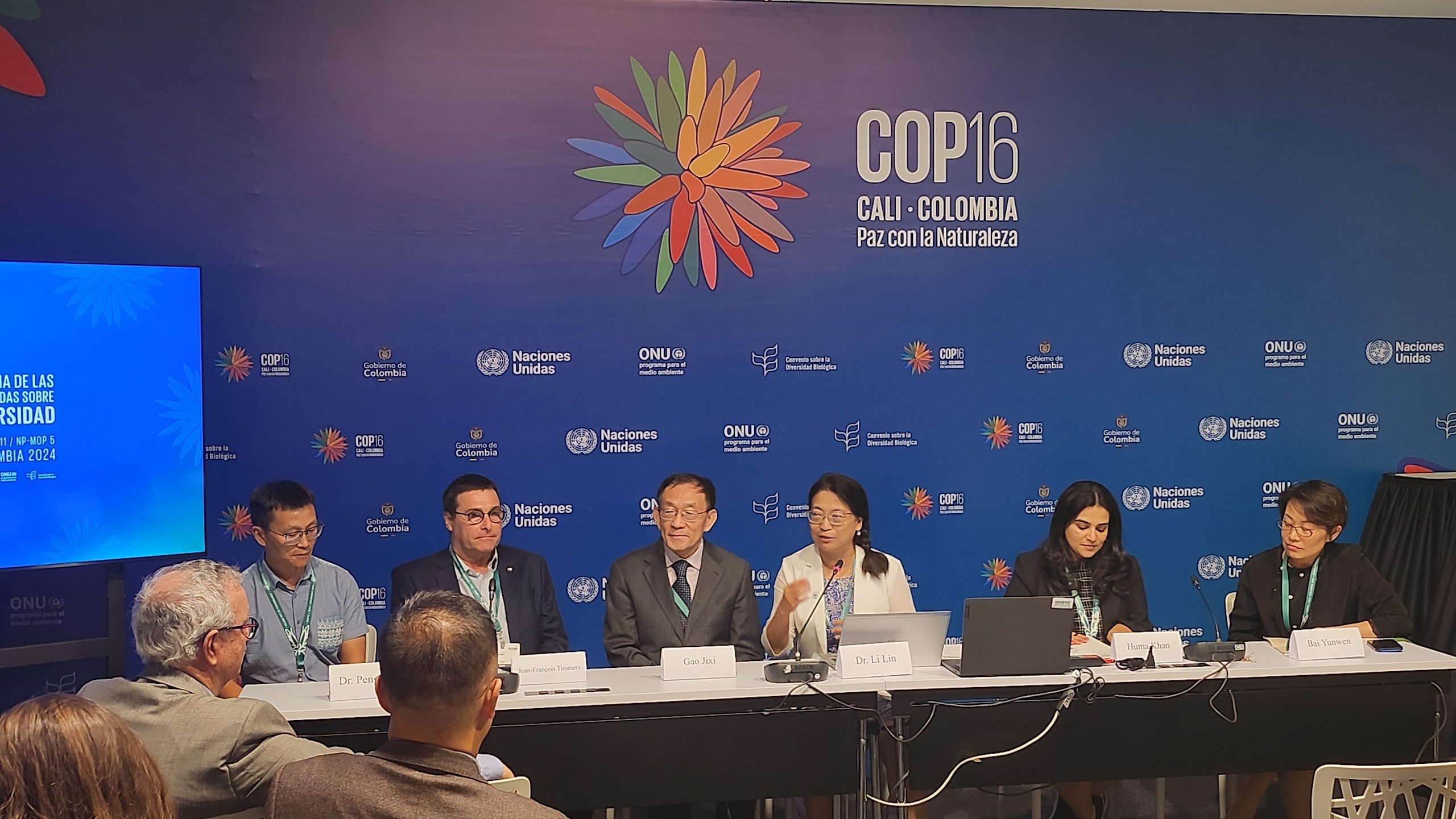
In August, a delegation from the Centre for Satellite Application on Ecology and Environment, part of China’s Ministry of Ecology and Environment, visited Brazil for meetings with the environment and agriculture ministries, during which experiences of surveying biodiversity were exchanged. Gao Jixi, the centre’s chief scientist, was one of the experts in attendance. Gao was one of the first to propose the idea of ecological redlines, and was also present at the COP16 side event featuring the Brazilian representatives.
To better understand the satellite partnership between China and Brazil, Dialogue Earth spoke with Gao at COP16. The following interview has been edited for length and clarity.
Dialogue Earth: Which countries have expressed an interest in adopting the ecological redline system or something similar? What creates that need?
Gao Jixi: At the national level, we’re in talks with Brazil and Nepal, both of which are willing to implement it. However, the methodology will need to be adjusted to meet their national needs.
The majority of countries aren’t taking the measures necessary required to meet the “30 by 30” requirement of the Kunming-Montreal Global Biodiversity Framework – that is, to have 30% of the world’s terrestrial, inland water, coastal and marine areas under effective conservation and management by 2030. Proposals have been put forward to increase protected areas, such as “other effective area-based conservation measures“ or OECMs, but these are fragmented and in most cases would result in at most 3% of areas being protected, and perhaps as little as 1%. That’s nowhere near what is needed.
China’s ecological redlines, however, could help hit the 30 by 30 goal. Currently, China’s nature reserves and national parks account for 18% of its territory. Add in areas protected by the redline system and you reach 31% – in line with the Kunming framework, and increasing the completeness of species conservation.
Brazil already has more than 30% of its area under protection. Why does it need a redline system?
The 30 by 30 target is actually very conservative – some ecologists say we should be aiming for 50% or higher, if we are to stop or reverse the biodiversity loss. For Brazil, 30% is a minimum. And while it has hit that number, the Amazon rainforest is still being destroyed, which means more areas need protection. Some important lakes, wetlands and buffer zones still aren’t under legal protections. There are some historical reasons for this – in some cases, the areas in question simply hadn’t seen human activity before and so didn’t need protection.

The same is true of China. Thirty years ago, some parts of China, such as the Qinghai-Tibet Plateau, were so sparsely populated there was no need to protect them. But now tourists are flocking there on self-driven tours and, without explicit protections, damage can result.
How are areas protected by ecological redlines overseen? What equipment and facilities are needed?
The Ministry of Ecology and Environment has a platform for monitoring of ecological redlines, with a full scan of all human activity within those areas carried out every two months. Mostly, this means a pass by a high-definition imaging satellite, to see if there have been any changes on the ground. That means looking for new mines, construction of buildings or roads, and nowadays also solar power facilities. If any problems are found, the local government is immediately informed so it can be dealt with.
Worth sharing is that the satellites work in sequences of linear passes. It does one pass, then orbits the earth to come back for the next pass. It used to take two years to cover the whole of China like that. But now China has access to 30 government-owned and over 100 commercial satellites. Those satellites also orbit more quickly than they did in the past. We can cover the whole country in two months now.
Not all countries can develop their own satellites – does this mean there will be more sharing of Chinese satellites in the future?
If other countries are interested, we can help them draw up ecological redlines and then use satellites to monitor and assess those, being a valuable way of fixing these redlines. If, in the future, regular satellite data is needed, we can provide those resources. Countries have different policies and rules on the sharing of satellite resources. A lot of data – on water, the atmosphere and so on – is made public for general use. China has already signed deals with some countries to provide satellite data. [Note: The BRICS Remote Sensing Satellite Constellation Cooperation Agreement was signed in 2021, with which China shares data with Brazil, Russia, India and South Africa.]

Another possibility is that a country wants monitoring of its own territory, but the data available on the international market doesn’t meet its needs, and it isn’t capable of launching satellites. In that case, it can work with China to launch a satellite and share usage rights. China and Brazil’s partnership involves the joint development of satellites. Brazil designs satellites according to its needs. Whether it wants to monitor carbon dioxide, wetlands, or lakes, the designing country has more say in the data.
Ecological redlines can’t just be about quantity under conservation – quality is also important, particularly when it comes to biodiversity. Increased biodiversity in one place doesn’t balance out a decrease elsewhere. What’s your view on the unevenly spread protection of these redlines?
In China, such a “balance” doesn’t mean each province protecting the same amount of land. The coverage of land protected depends on the importance of the ecosystem and the intensity of historical development. In terms of area, Tibet and Inner Mongolia have the largest areas under ecological redline protection – firstly, because these are very important ecosystems, secondly because there has been less development there. Qinghai province also has a lot of land under protection, because the sources of the Yellow and Yangtze rivers are there, so that protection has an impact over a much wider area.
To improve quality, the scope of the redlines will need to be updated [as other changes occur over time]. For example, most countries will see some scattered villages disappear as economic growth progresses. The same is true for China. I once visited a village in Gansu, up at a high altitude. Five or six years later, the villagers had left, and the buildings were all collapsed and covered with vegetation. That’s something even more common in the south of China. Nature has the ability to recover, and wild animal and plant life quickly takes over anywhere humans abandon.
When it comes to conservation, different countries take different approaches, due to differing extents of development. Some regions, which are of importance to the climate or key species, must be protected. For example, Brazil’s tropical rainforests have a unique role globally and must be protected. Some species, like the Asian elephant, have very limited ranges so can be protected within specific areas. In some cases, species habitats have been replaced by cities or farmland and cannot be restored. And the setting of ecological redlines also has to take the economy into account, as well as local development plans. Setting a redline doesn’t mean stopping all human activity – local traditional practices, such as herding or farming, should be retained where appropriate.
China’s method of creating protected areas is a combination of top-down and bottom-up approaches. At the provincial level, provinces report on their protected areas to central government, which also has its own top-level policies, against which the provincial work is checked, to ensure everything is in line with local development plans. That approach has widespread support, as local governments recognise the importance of the ecological redlines.
This article was produced as part of the 2024 CBD COP16 reporting fellowship organised by Internews’ Earth Journalism Network.