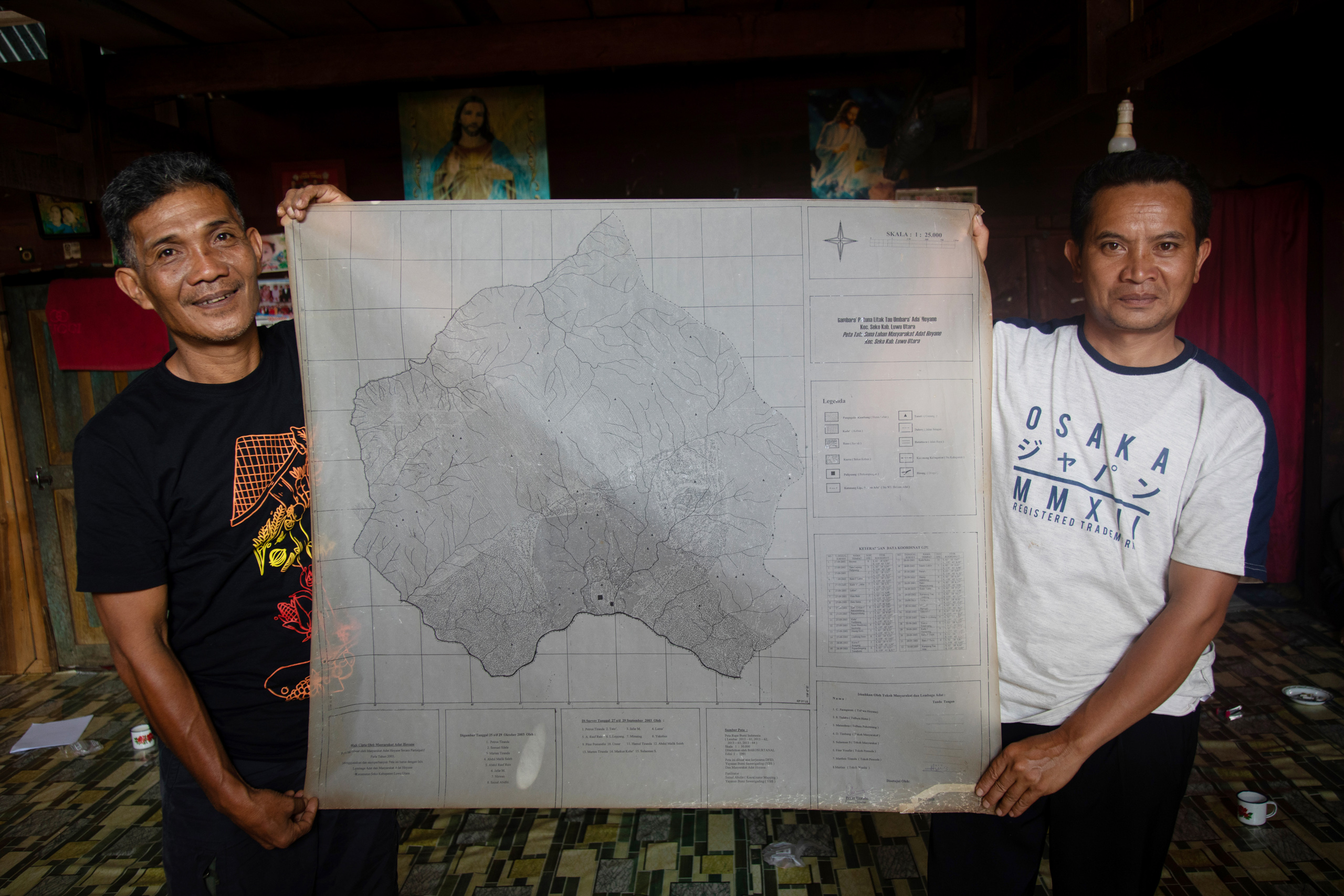
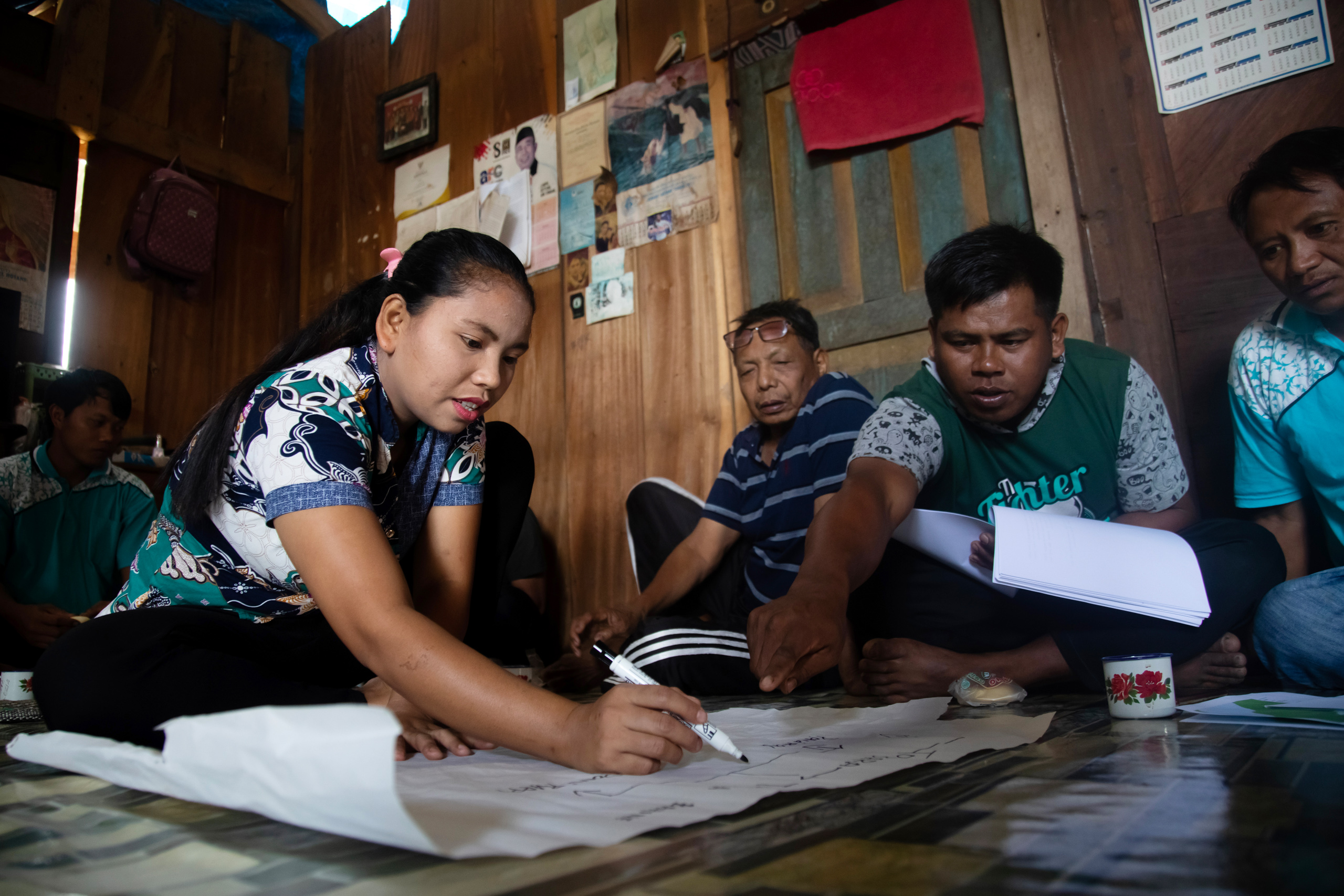
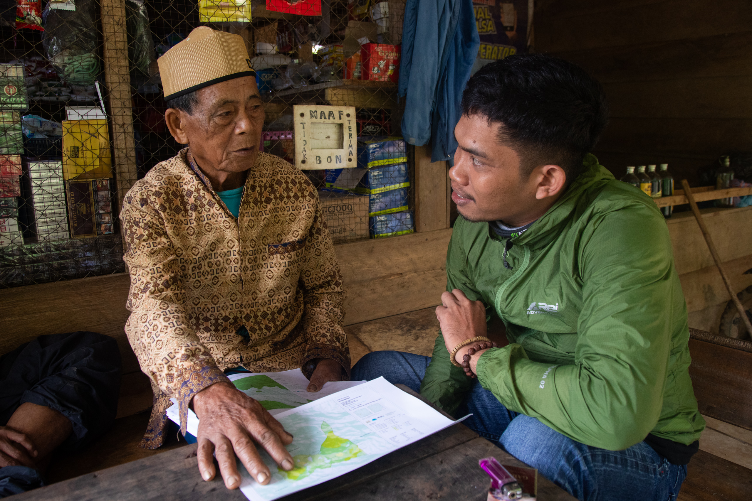
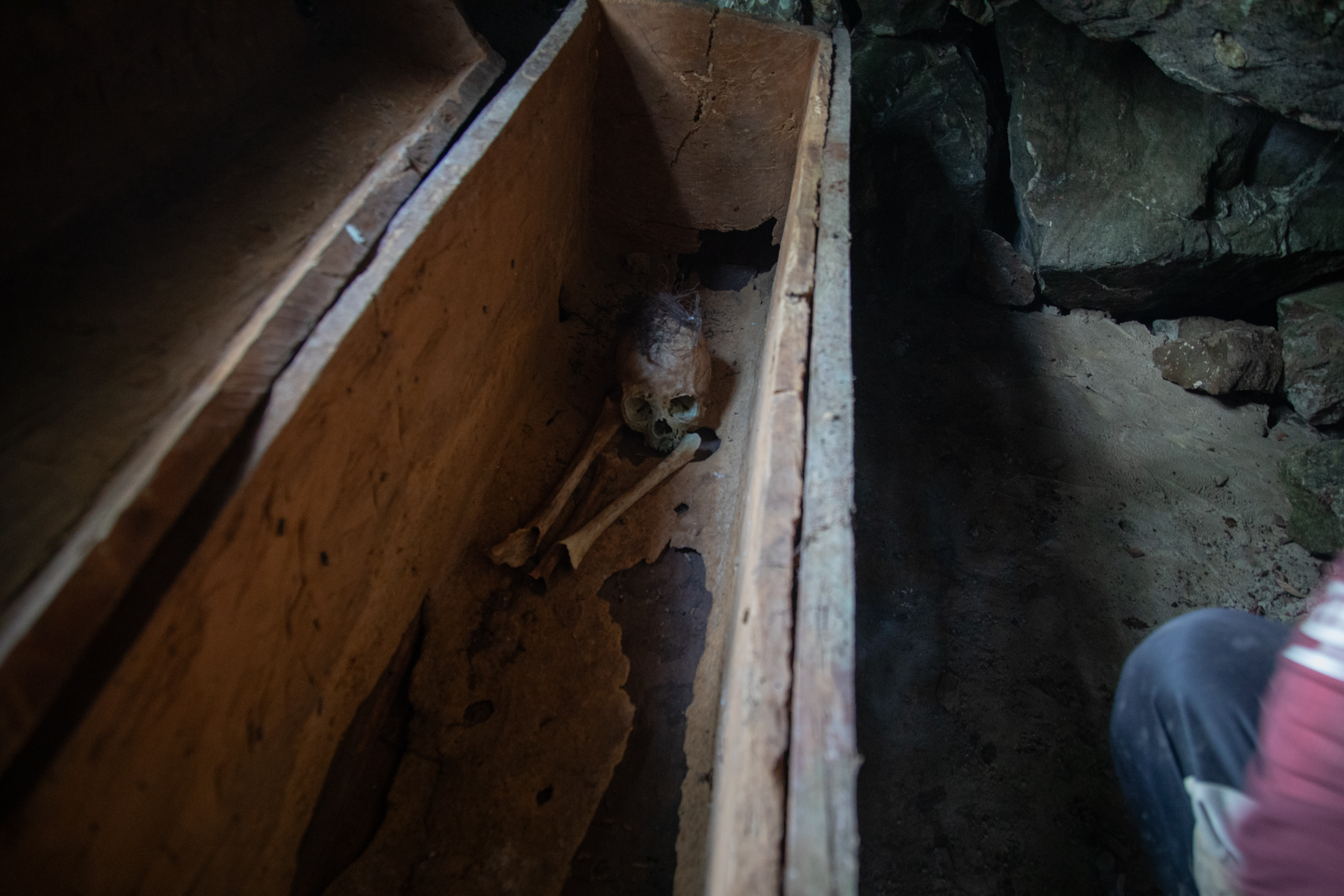
Sitting on the floor, Uria Padalingan, a member of the Indigenous community of Hoyane, points to an area on the map in front of him. “This is Tanete Kahulingan, or the lost forest, where people who are lost are usually found,” he says.
Uria is meeting with fellow community members at the house of Yason, head of the Hoyane Village Consultative Body. They’ve come together to make final checks to maps and other documents they will soon be sending to the local government to stake their claim to lands they have long considered theirs. The lost forest is just one part of this customary territory, much of which the Hoyane do not officially control because it has been designated as “state forest” or parcelled out as concessions to companies for logging or plantations.
“We want our rights to be restored, our Indigenous territories returned,” says Uria. “Because, if we cannot defend our Indigenous territories, our descendants will not have a future.”
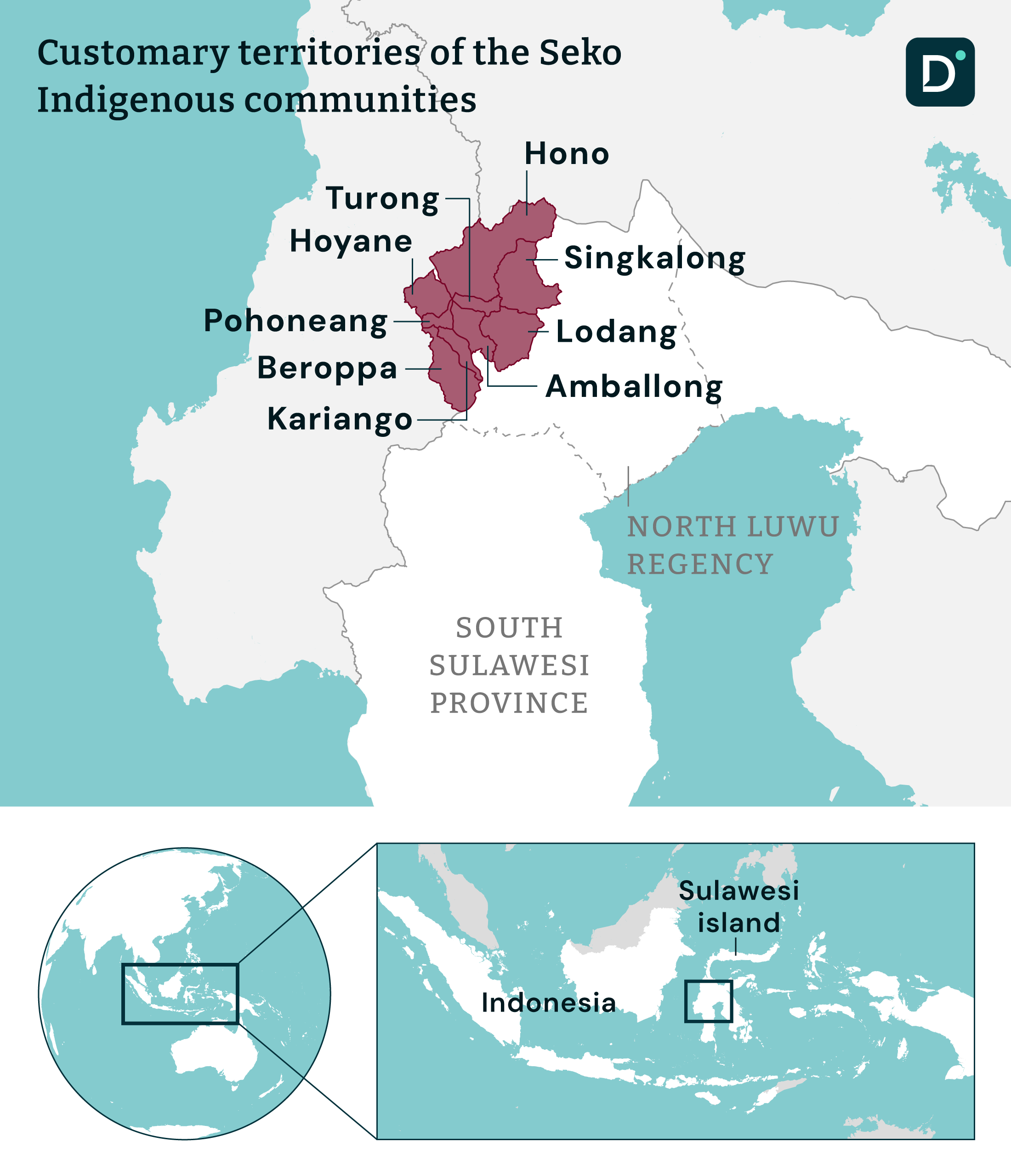
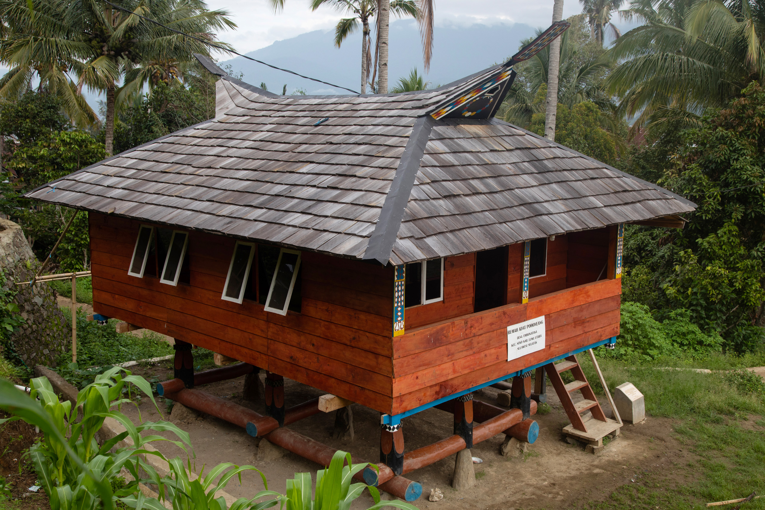
Hoyane territory lies deep in the still-forested highlands of the Indonesian island of Sulawesi. Its residents are one of nine Indigenous communities in the Seko district of North Luwu regency, South Sulawesi province. Like many Indigenous peoples across Indonesia, they’ve been pushing for state recognition of their identity and customary territory for decades.
An early breakthrough came in 2004, when the North Luwu regency government officially recognised all nine communities as the “Seko Indigenous peoples”. Twenty years on, they’re finally ready for the next step. And with external pressures on their lands increasing, there’s a palpable sense of anticipation in the air.
Six of the nine – Hoyane, Singkalong, Hono, Turong, Amballong and Pohoneang – expect to have their customary territories legally recognised by the North Luwu administration later this year. If everything goes to plan, these Seko lands will add 151,138 hectares to the national total of 3.9 million hectares registered as Indigenous territory as of 18 March 2024.
But this is only a very small portion of the 28.2 million hectares of Indigenous territories so far mapped by the Ancestral Domain Registration Agency (BRWA), an NGO set up in 2010 to support Indigenous communities with this process.
A changing legal landscape
Official recognition of Indigenous territories is only possible thanks to relatively recent changes to Indonesian law. Prior to 2013, all forested areas in the country were controlled by the state unless special permits had been issued, a situation enshrined in the 1999 forestry law. The government did not consider Indigenous peoples as land rights holders, and the zoning of state forests limited access to their traditional territories and natural resources. In addition, the Ministry of Environment and Forestry was able to grant companies concessions for logging and plantations, even in areas of forest that had been managed by communities for generations.
In an effort to change this, in 2012, the Alliance of Indigenous Peoples of the Archipelago (AMAN) and two Indigenous communities applied to the constitutional court for a judicial review of the forestry law.
The following year, the court partially upheld the challenge to this law, stating in its verdict that “customary forests are not state forests”.
However, in response to this verdict, instead of amending the law, the forestry ministry issued a new regulation. It stated that, if they want their “customary forests” (hutan adat) redefined from state forest, Indigenous peoples must first be legally recognised by their local authority as a “customary law community”, and have their full “customary territory” (wilayah adat) recognised too.
An Indigenous community’s customary territory is an area they have managed and inhabited for many generations, according to definitions used in Indonesian law. It includes both forested and non-forested areas put to different uses such as farming or settlements.
A customary forest is a forested area located inside a community’s customary territory that they either make use of or leave protected for spiritual of other such reasons.
In 2014, the Ministry of Home Affairs issued a regulation clarifying how Indigenous peoples should go about gaining these recognitions. It’s a complex process involving three stages: identification, verification and validation, and determination. It requires communities to provide evidence of their unique histories, cultures, customary laws and systems of governance, as well as traditional territories.
Mapping their identity
In their push for recognition, many Indigenous communities have not waited for the law to catch up. With help from the Bumi Sawerigading Foundation (YBS), a South Sulawesi NGO, the communities of Seko district started documenting their unique identities in 2003.
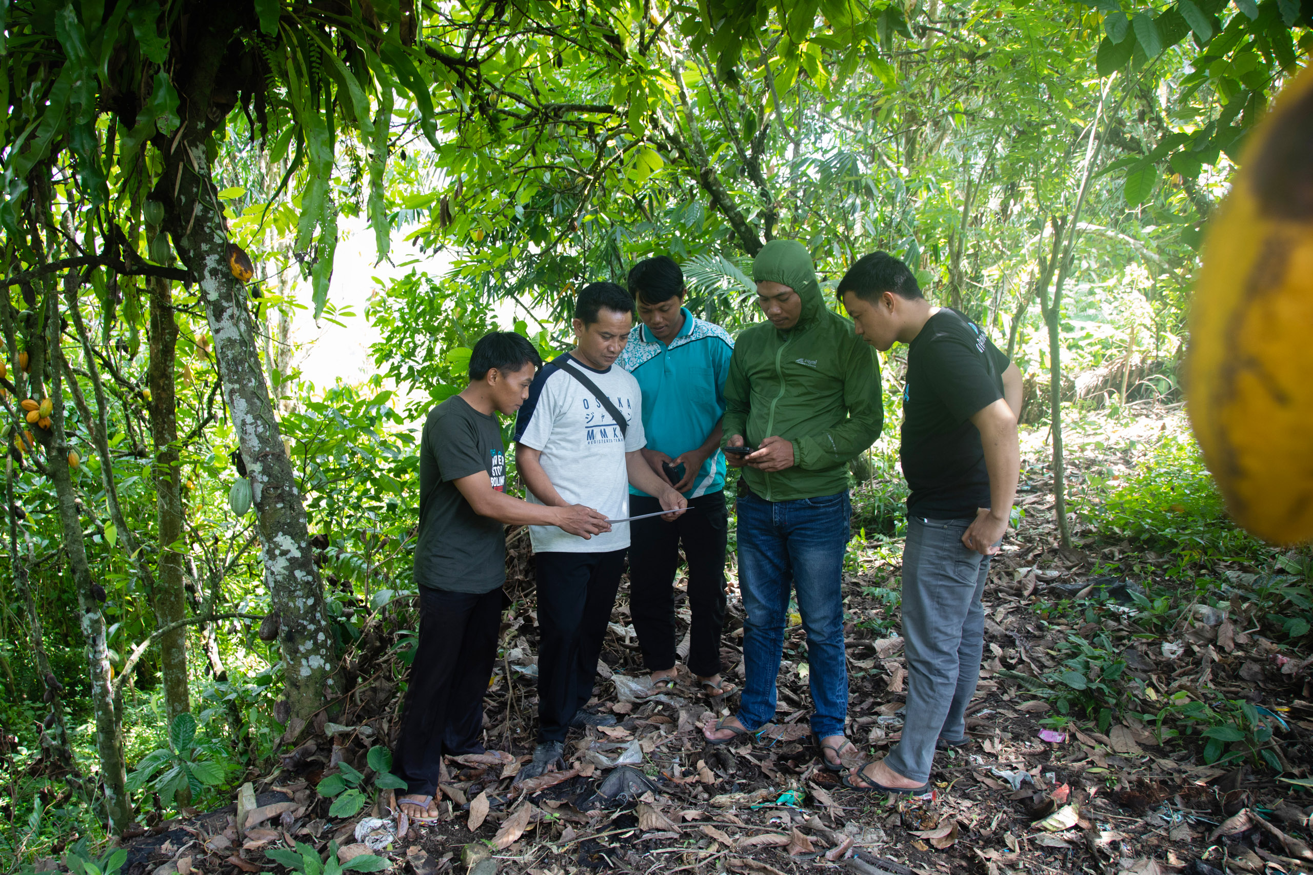
One of the most important things they did that year was determine coordinates and manually create maps for each of their territories. But these were just some of many “customary law” records sent to the North Luwu administration, leading to its official recognition of the Seko Indigenous peoples in 2004.
Sainal Abidin, head of the South Sulawesi branch of the BRWA, says of the documenting process: “We only provided technical guidance. The rest was carried out independently by the Indigenous communit[ies].”
“We know that many Indigenous communities rely on oral traditions while the state requires written documents, not to mention technical aspects like maps. Which Indigenous communities can provide the necessary documents if they are not facilitated by other parties?” he says.
Sainal, who used to work with YBS, believes the state should be more active in restoring the rights of Indigenous communities.
What’s happening in Seko district provides a comparatively good example though. The North Luwu administration is committed to recognising 16 of its 34 Indigenous communities by 2026. In addition, to speed up the recognition of the customary forests of three Seko communities – Hoyane, Amballong and Pohoneang – the Environment and Forestry Ministry last year formed a unique integrated team. As well as the ministry, the team comprises the Committee for the Recognition of Indigenous Legal Communities of North Luwu, and the South Sulawesi Forestry Agency. This initiative cuts out a step for the three communities, meaning their forests should be redefined and returned by the state more quickly.
With continued support from the BRWA, the Seko communities last year spent several months updating and adding to the information gathered in 2003. All of it will be useful in their application for official recognition of their customary territories; since the home affairs ministry issued its 2014 regulation, their documentation now needs to meet more stringent requirements.
In Hoyane, community member Lidia Nopita has been helping with this process and attending meetings alongside Uria and Yason.
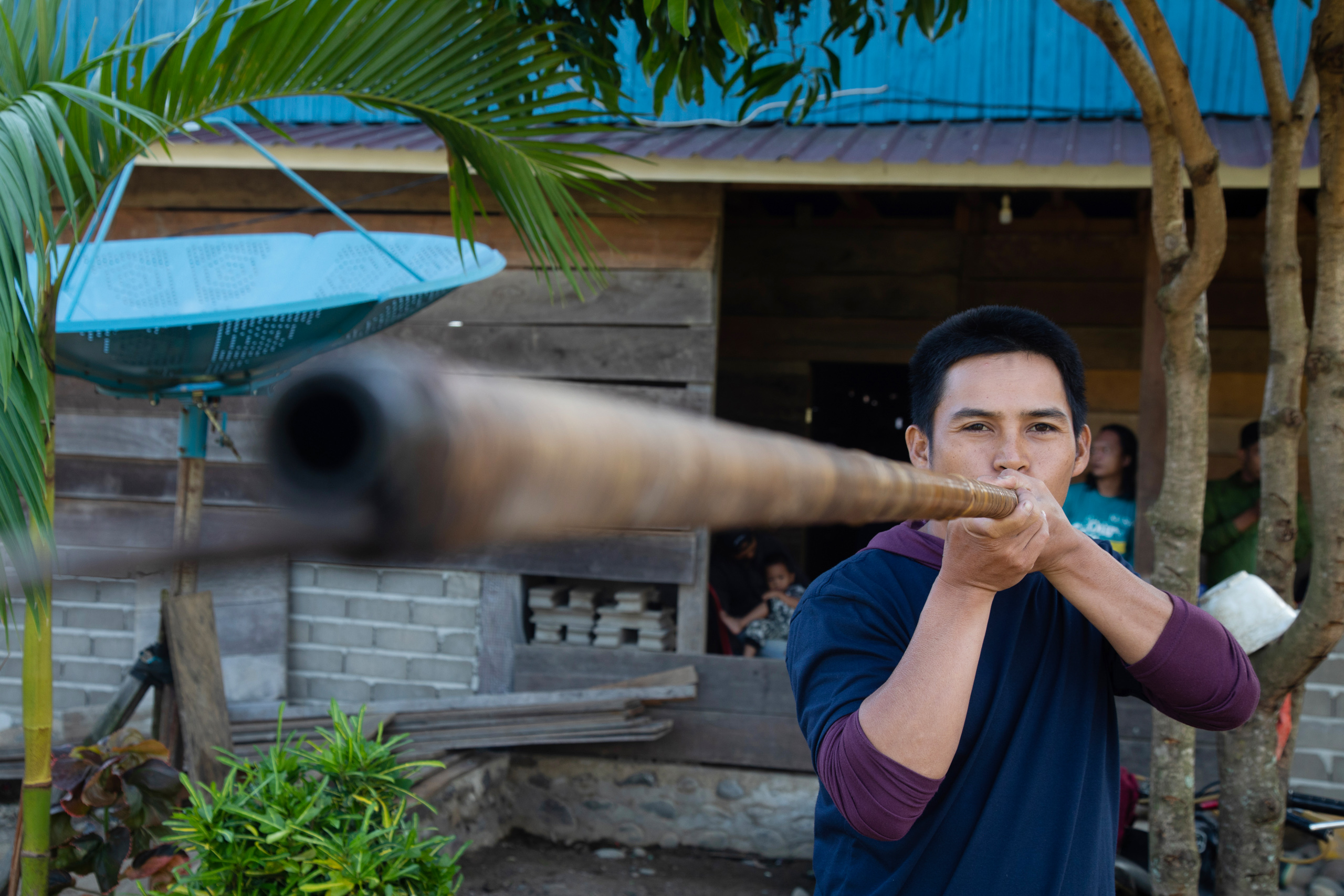
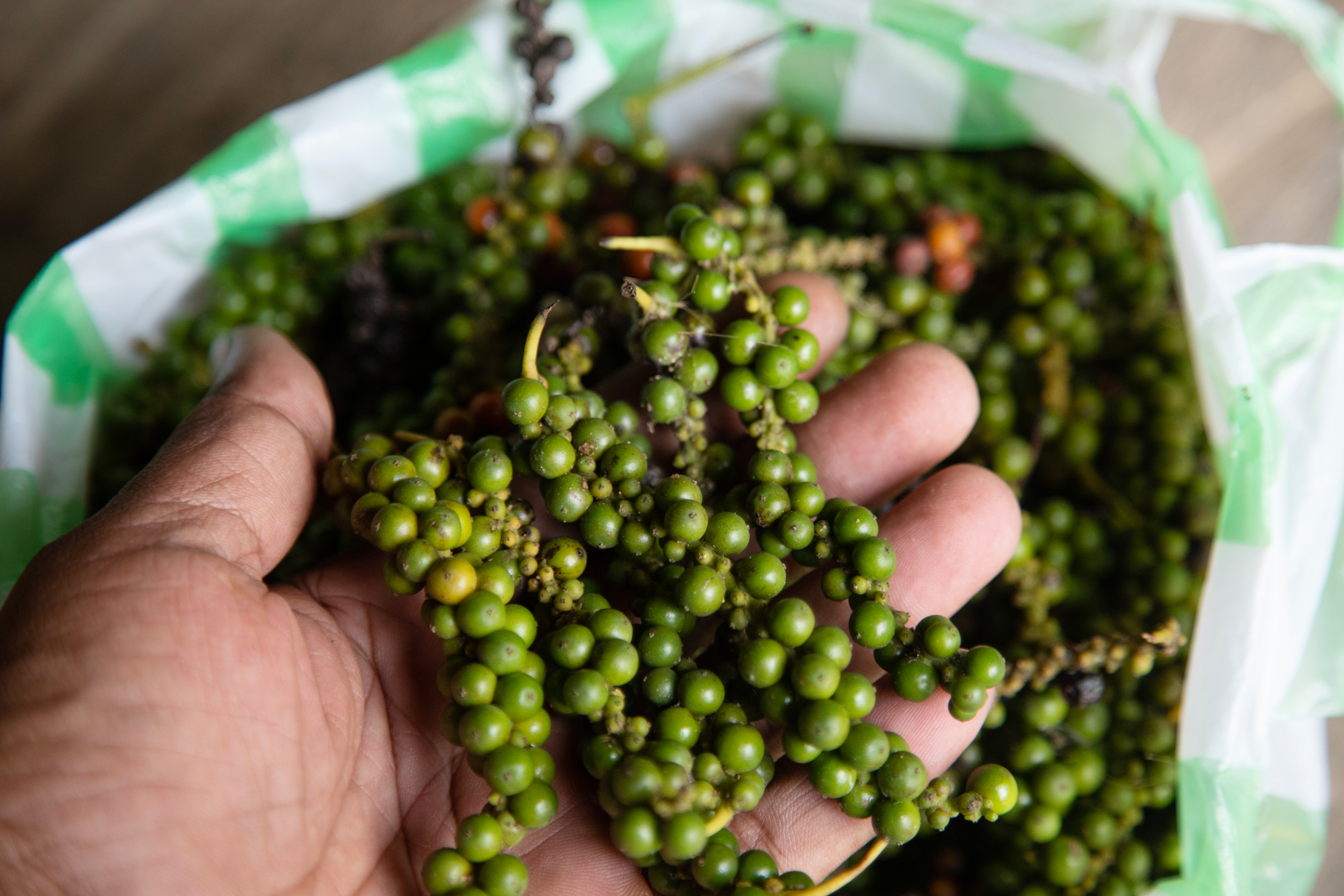
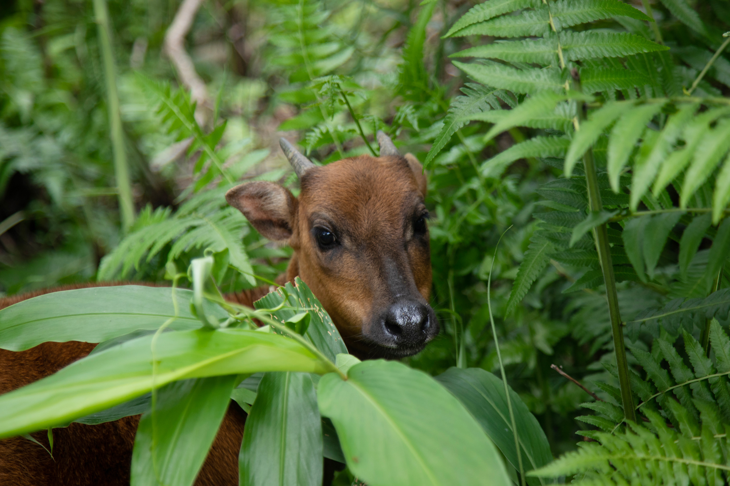
With three other Hoyane women, she has identified various natural resources used by the community in their daily lives. “For example, plants used for cosmetics and medicines,” she says. “If we want to, we don’t need to buy our food and medicines. Because, in Seko, nature provides everything.”
Parawangsa, chief of the nearby Turong Indigenous community, says most of the recent work they’ve done has concentrated on mapping. Although the process is technically pretty much the same as it was in 2003, the boundaries of each community’s territory have needed adjusting. It has taken time to reach consensus on this, he explains.
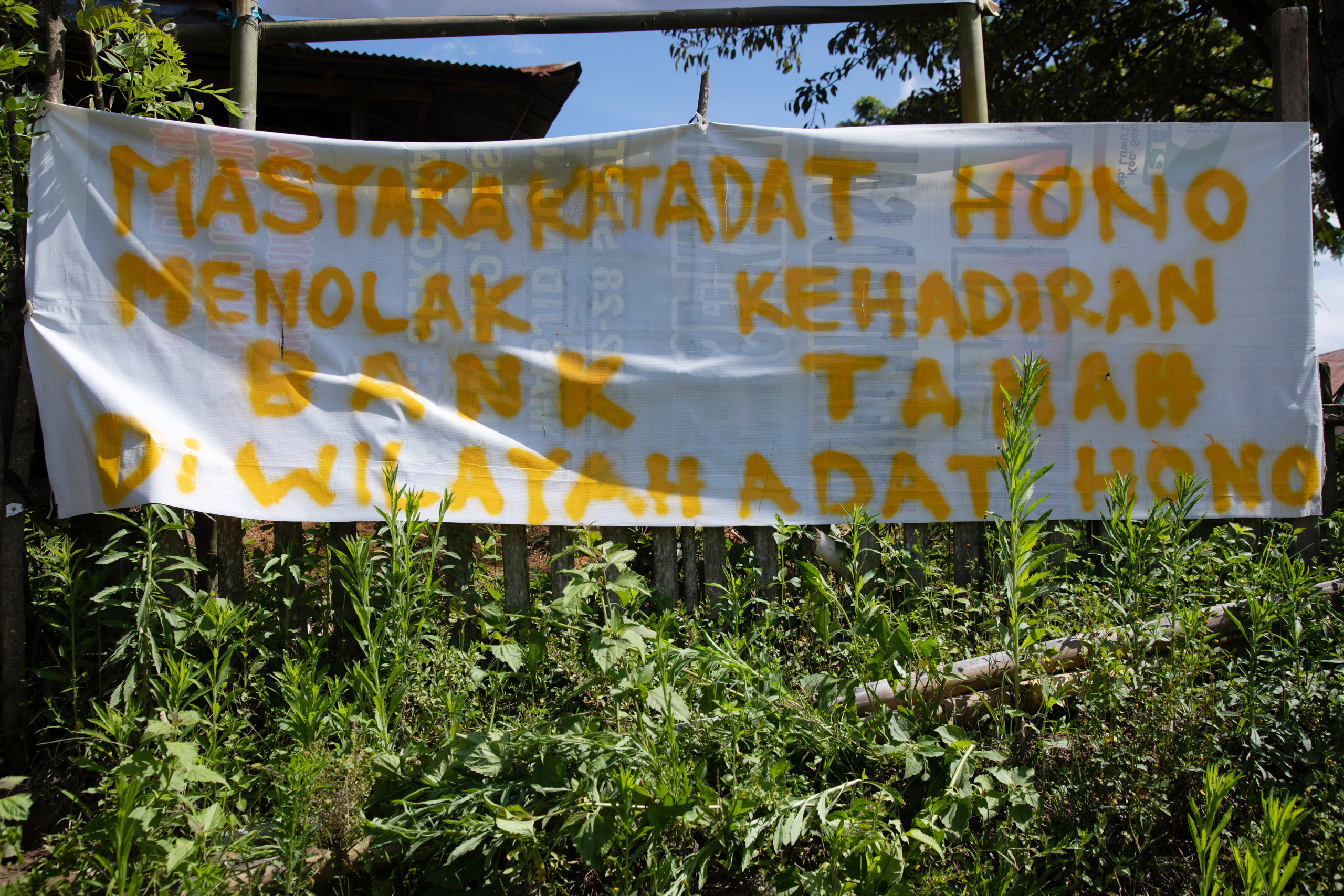
“Previously, the boundary of the Hono customary territory was the Kasummong River. But residents of Hono have been living beyond that boundary [on Turong land]. We held many discussions about this, and finally agreed to shift the boundary from the river to the road,” he says.
An uphill battle
Yance Arizona, an expert in Indigenous law at Gadjah Mada University, Java, says one of the challenges facing Indonesia’s Indigenous peoples in their efforts to gain recognition of their status and territories is the government’s repression of customary systems of governance. Instead of making use of traditional institutions, such as village chiefs, the state has favoured a standardised system of village administrations, he says.
But Yance points out that such changes are inevitable, and this “doesn’t mean they are no longer Indigenous communities”. For him, “the most important thing is that they can explain the historical relationship with the land, categorise their territory, and mark its boundaries [in a way that is also] recognised by the nearest community”.
Categorising how different parts of a territory are, or have historically been, used – such as for grazing animals or as a burial ground – is one way a community can substantiate their claim to the land.
Muhammad Arman, director of advocacy for policy, law and human rights at AMAN, says another challenge for communities is the location of current administrative boundaries.
This is a complication currently facing the people of Hoyane, whose territory lies not only in the North Luwu regency of South Sulawesi but also in the Central Mamuju regency of West Sulawesi.
Arman says this could be resolved in one of two ways, according to methods outlined in the home affairs ministry’s 2014 regulation. One option is for the two regency heads to get together and issue a joint decision on the territory’s boundaries. “The second option is for the North Luwu government to establish recognition of the Indigenous territory, and the neighbouring regency government to do the same,” he explains.
However, the Central Mamuju government has not yet recognised the Hoyane as a customary law community. In addition, the regency has not been included in the forestry ministry’s integrated team for North Luwu. As such, the areas of Hoyane territory within Central Mamuju are being excluded from the community’s current push for official recognition.
Custodians of their own lands
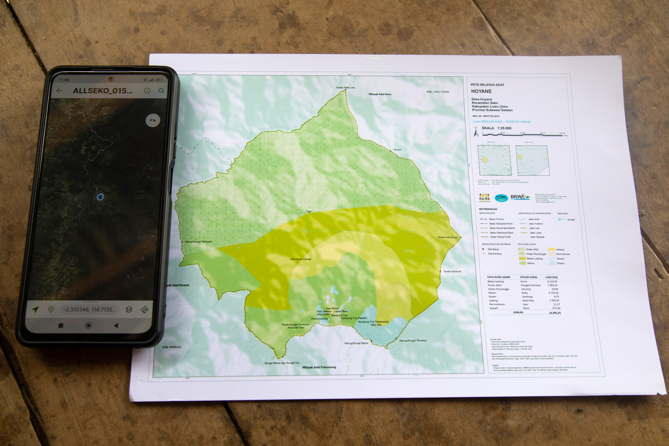
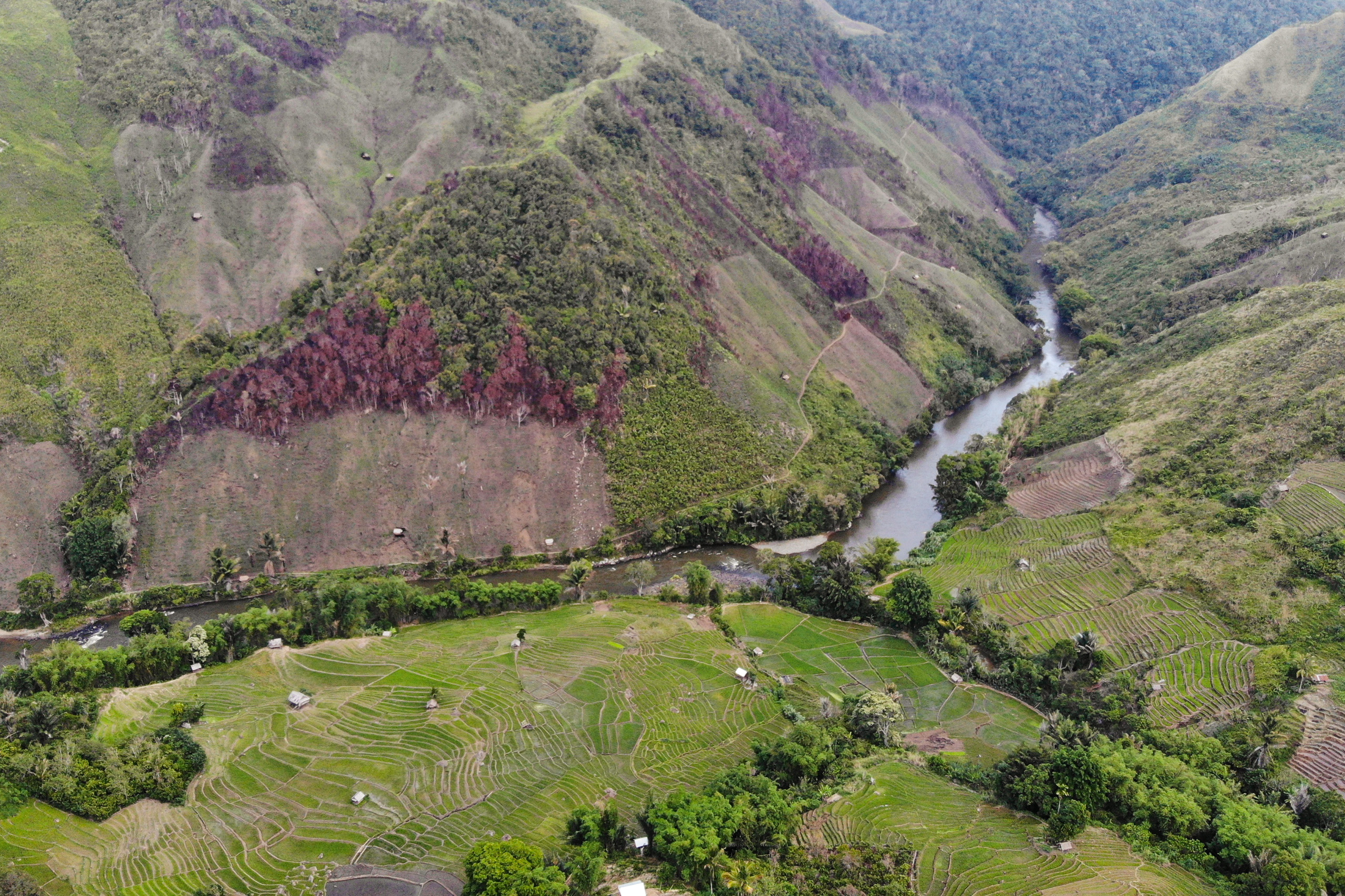
According to the BRWA, the territories they have helped the nine Seko communities to map cover a total area of 217,788 hectares. Three of the nine – Lodang, Kariango and Beroppa – are still finalising their boundaries. But maps for the other six communities are now complete.
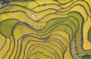
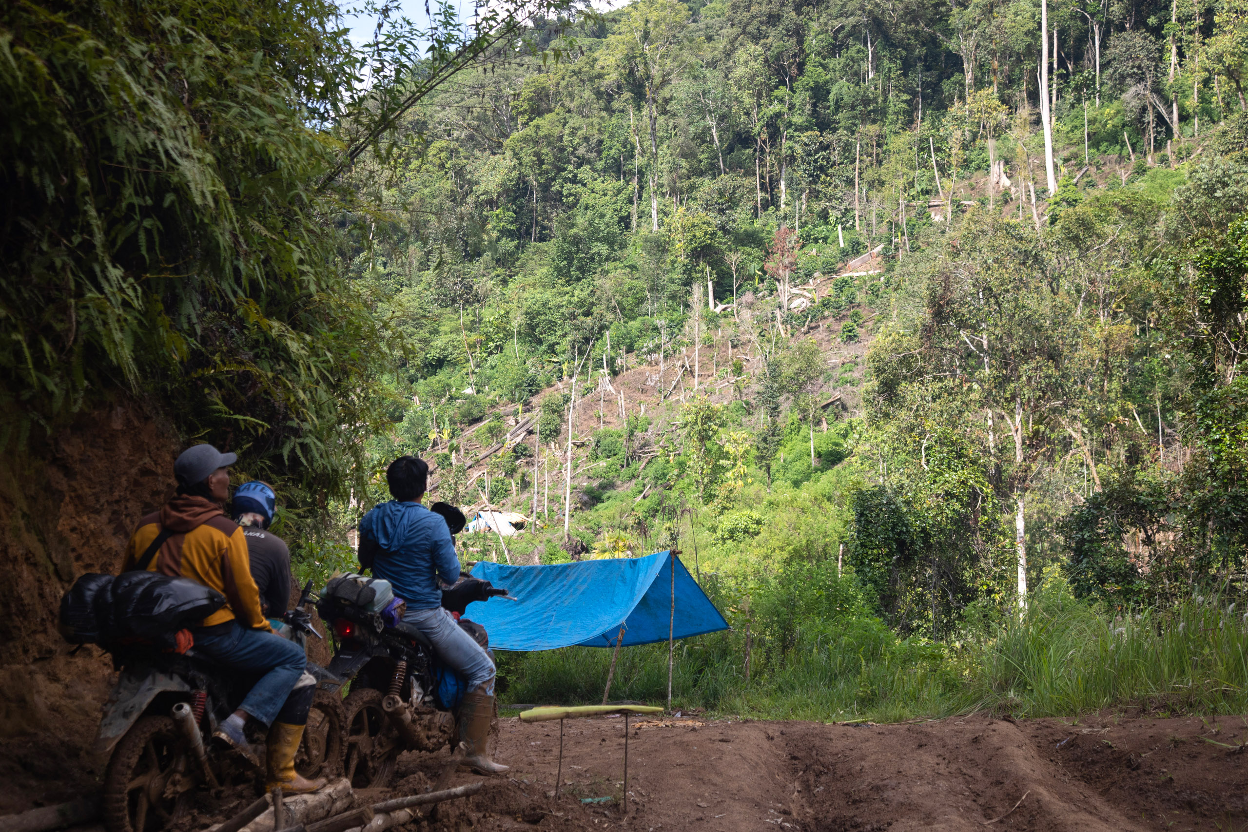
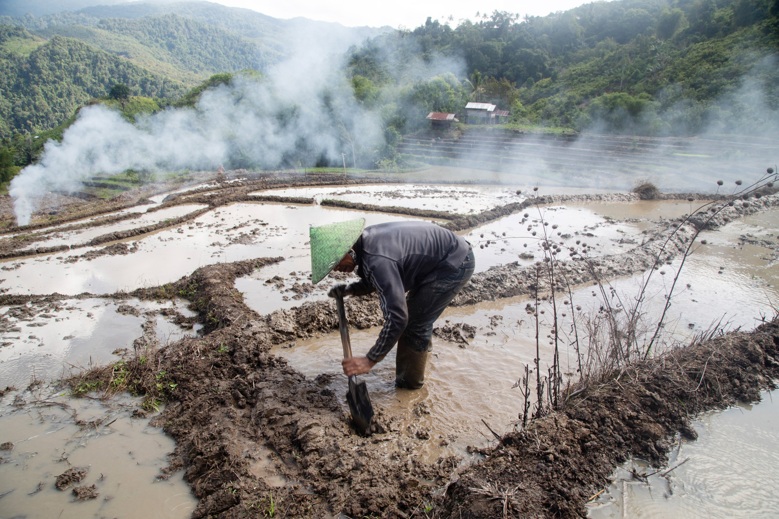
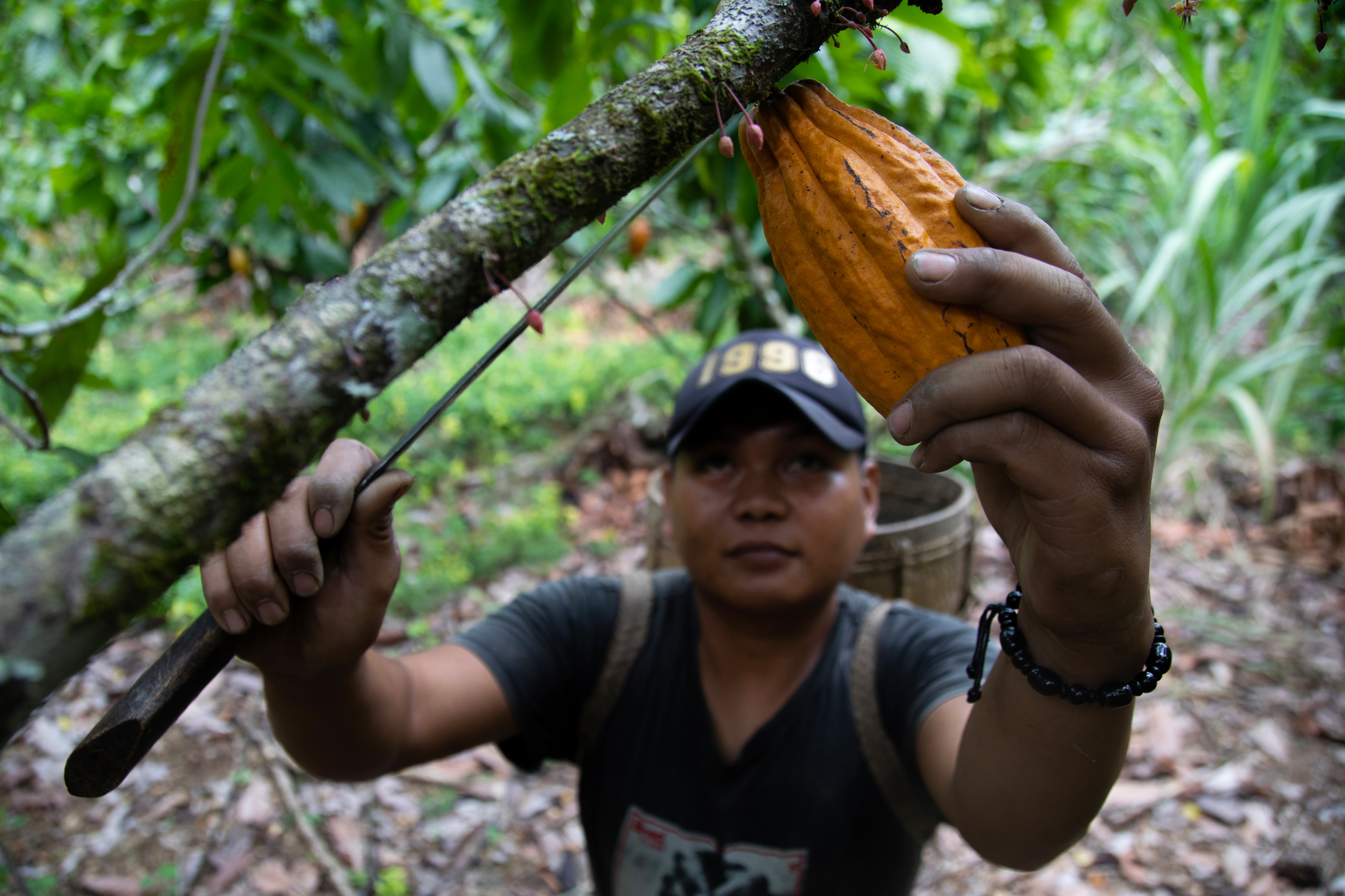
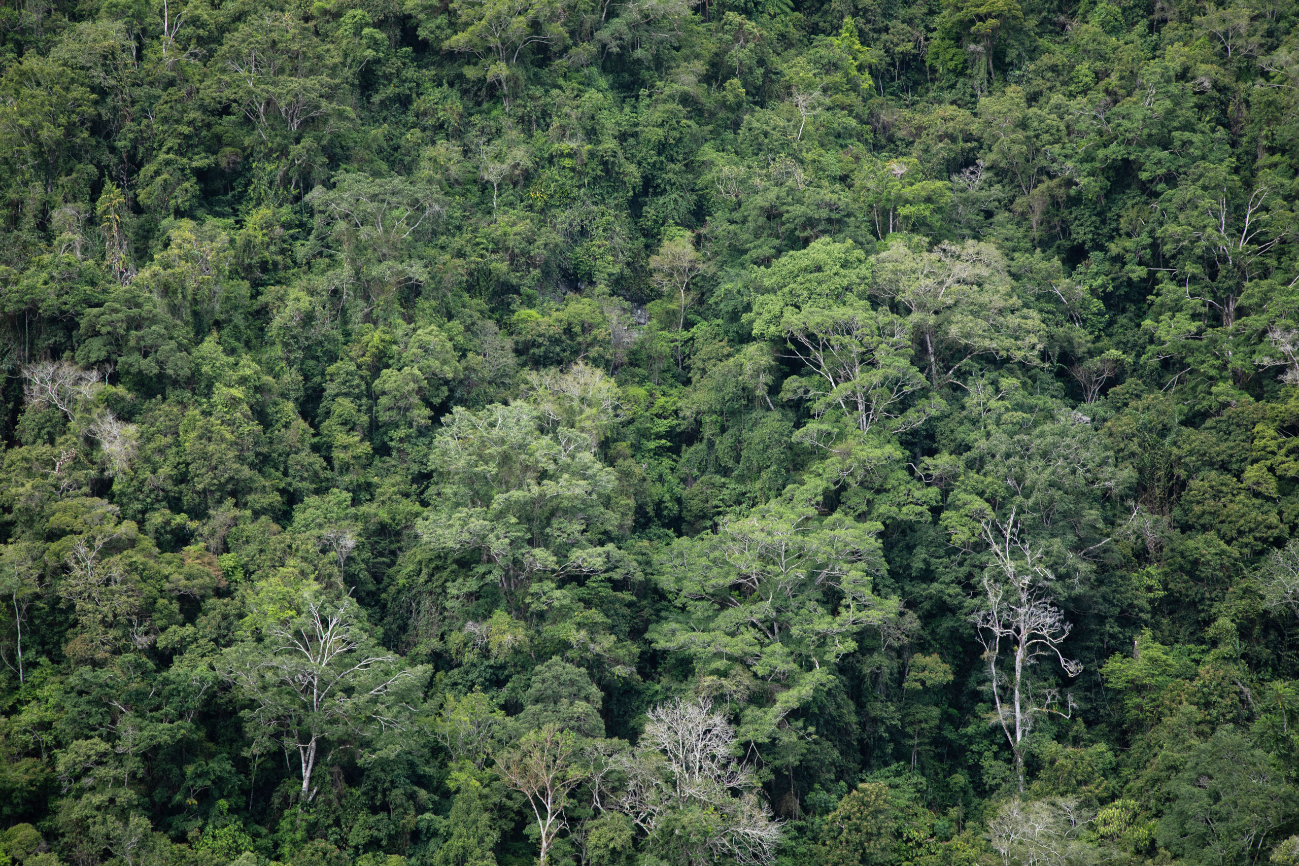
As well as defining the boundaries, the communities have categorised zones within their territories for gardens, settlements, paddy fields and other such uses. Also marked are forested areas community members have long made use of, mainly to hunt, gather rattan canes and cut timber to build houses.
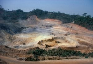
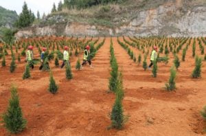
Several areas being claimed by the Seko communities – not just forests, but also areas used to farm crops and as settlements – are currently designated as state forests. In addition, several parts of Seko territories have been included in the government’s new national land bank.
This controversial initiative allows the state to take control of what it deems to be “inactive” land and make it available for productive use, with the aim of promoting development. But critics fear it could potentially work against the recent legal gains of Indigenous peoples, giving the state the power to override the customary use rights communities are working so hard to secure.
For AMAN’s Arman, “the land bank is like a machine that can be used at any time… to take over community resources”.
Arman points to several other threats to Seko lands, including concessions for logging and plantations, and a plan to develop a hydroelectric dam in Amballong territory.
Uria says once the Hoyane’s territory is officially recognised, they will have the power to stop these projects. It will, he says, allow them to continue using the land in the environmentally sustainable way they have for generations.
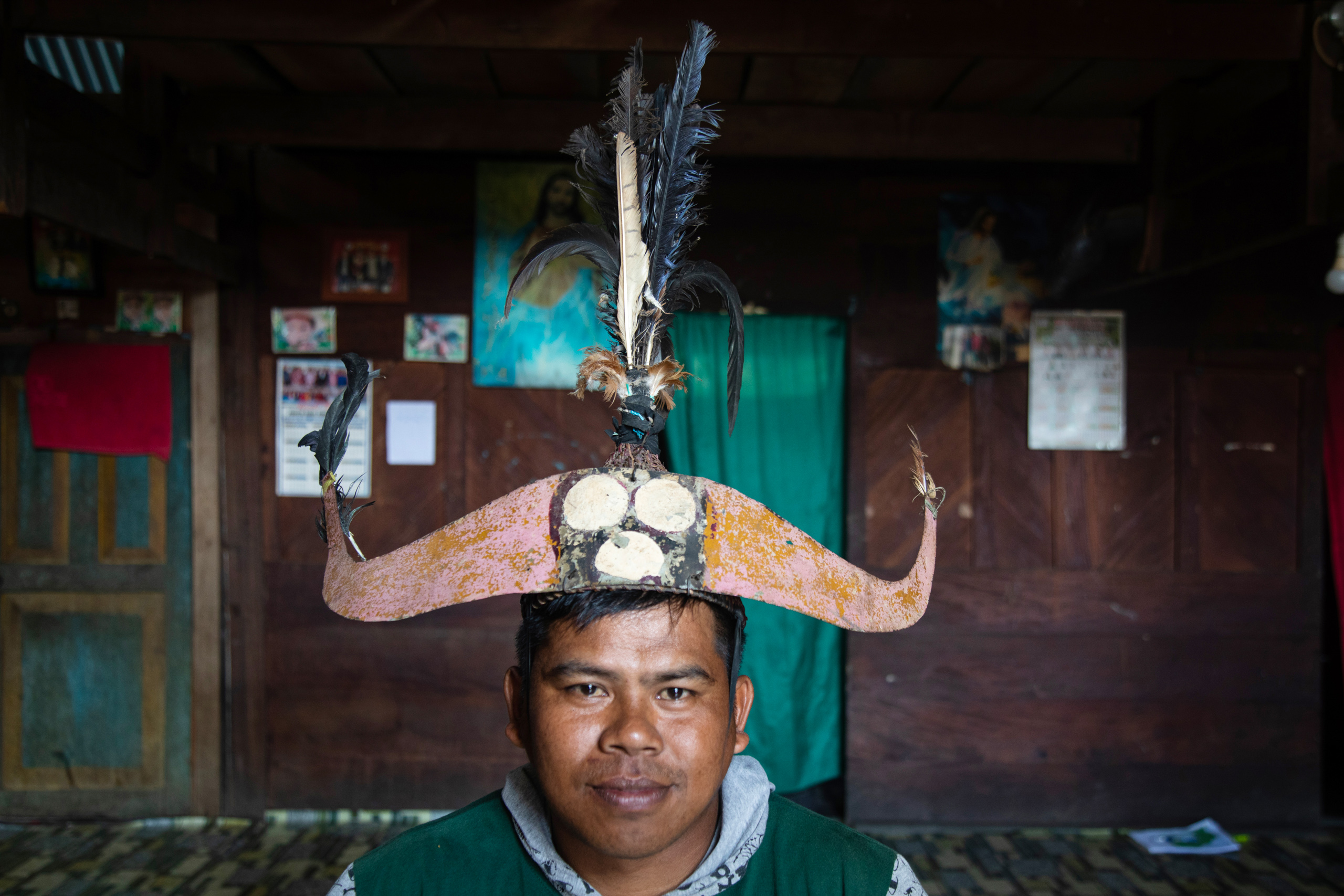
This is illustrated by the conservation system practised by the Seko communities. They divide the forest into fully protected areas that should be left alone, and conservation forests where limited utilisation is allowed. This reflects principles inherited from their ancestors, best expressed by a Singkalong proverb recorded in their customary law documents: “The vast expanse of the forest gives us life. Preserve and manage it well so that it becomes the pillar of our collective life. If you neglect it, then you will bring forth hunger.”
On a more political note, Uria adds: “It is the responsibility of the state to restore our lands, which have been taken away.”
Having now submitted their documents to the North Luwu government, the Hoyane, along with five of their fellow Seko communities, are now waiting for this to happen.